Explore the future of mobility & parking space
If cars no longer need to rest, the spaces we built to hold them become free: parking structures become parks, drone ports, or kinetic-energy zones; roads become fluid transit bands; the static city becomes a living one.
The hard problems are where the digital and physical meet. How does a person step into a moving system safely — docking hubs, mobile platforms, choreographed handoffs? How do thousands of vehicles negotiate space without a single point of failure?
Tools: Cursor, Claude Code, Rhino, Unity, Keyshot, Figma
Role: Lead Interaction Designer

Research of the physical parking space
01 · Sketch — Tracing the bones of a parking garage
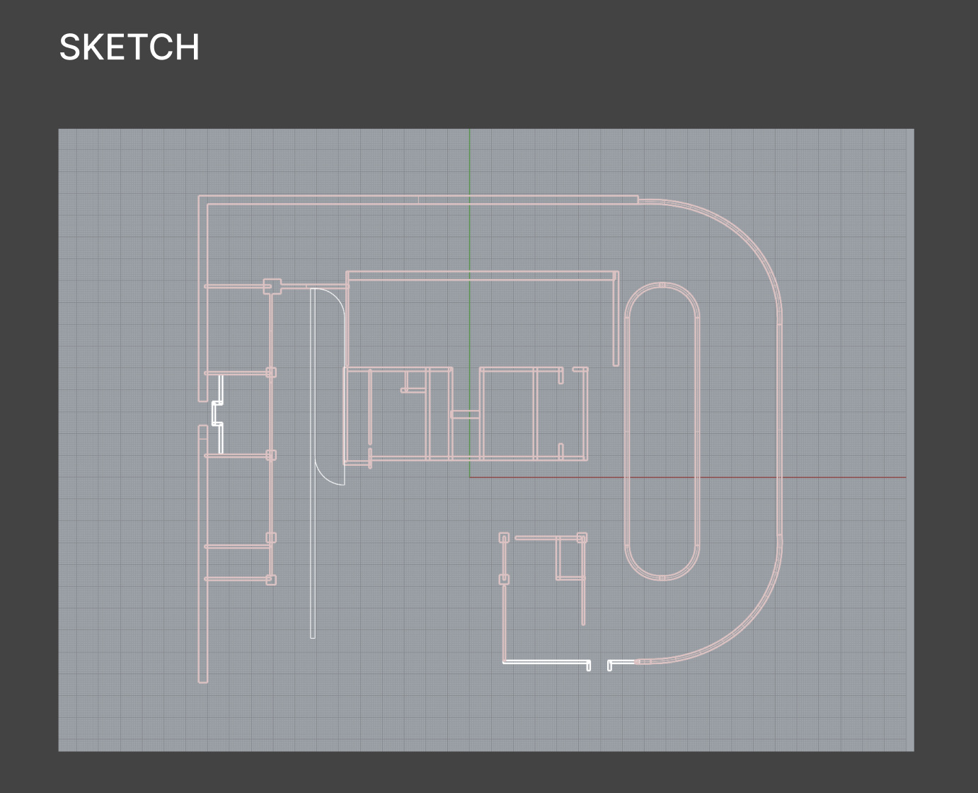
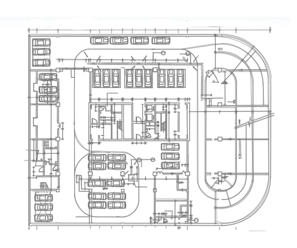
I started from the as-built plan of an existing parking structure, tracing its footprint in hand drawing and Rhino — the perimeter ramp loop, the helical spiral ramp, and the repeating structural bays.
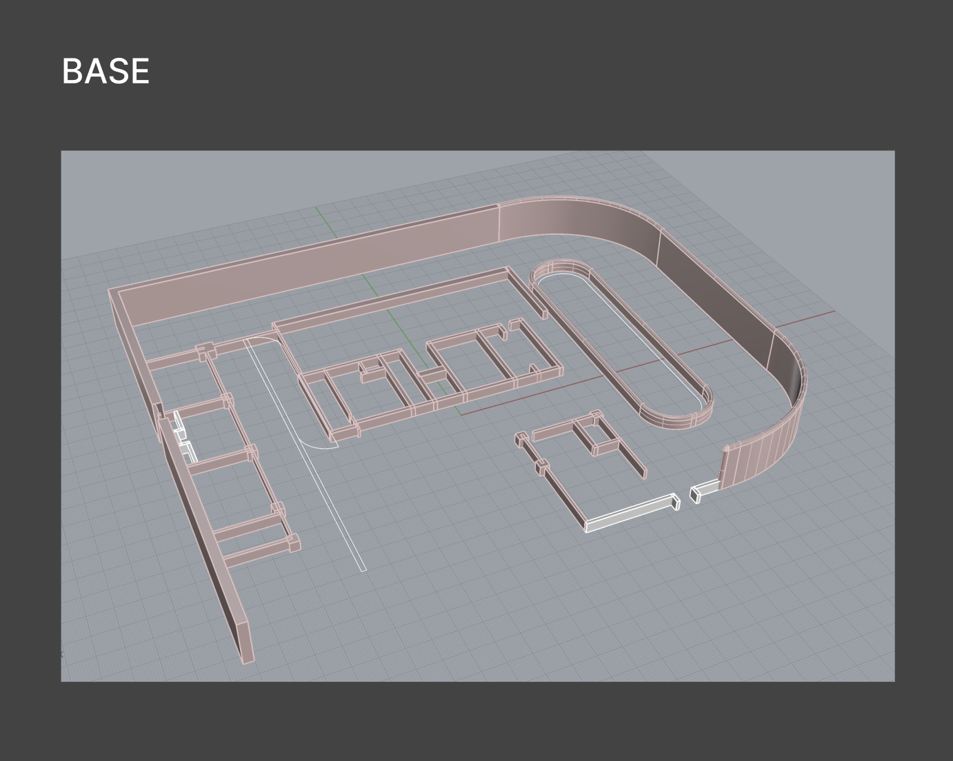
02 · Base — From lines to a working shell
The traced geometry was extruded into a base shell — perimeter walls, the curved vehicle loop, and the interior partition grid. This locked in the site logic and the circulation skeleton before any volume decisions were made.
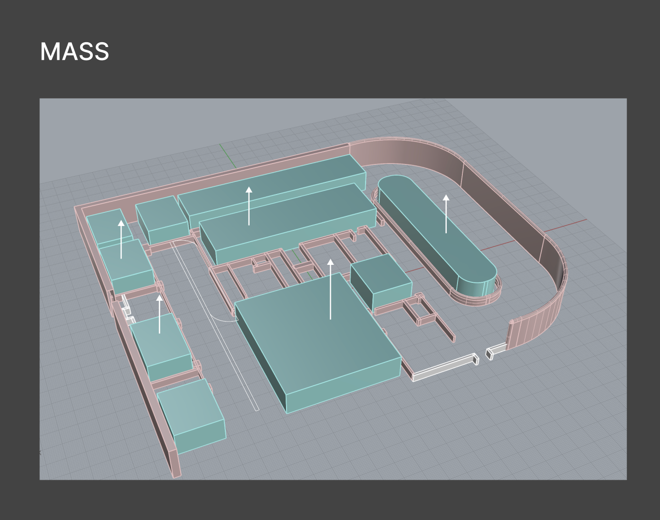
03 · Mass — Turning flat decks into inhabitable volume.
I pushed the primary masses upward to study scale and density (arrows mark the extrusions), converting horizontal parking decks into occupiable blocks. The goal here was to find the right ratio of solid to void — how much program the footprint could actually hold.
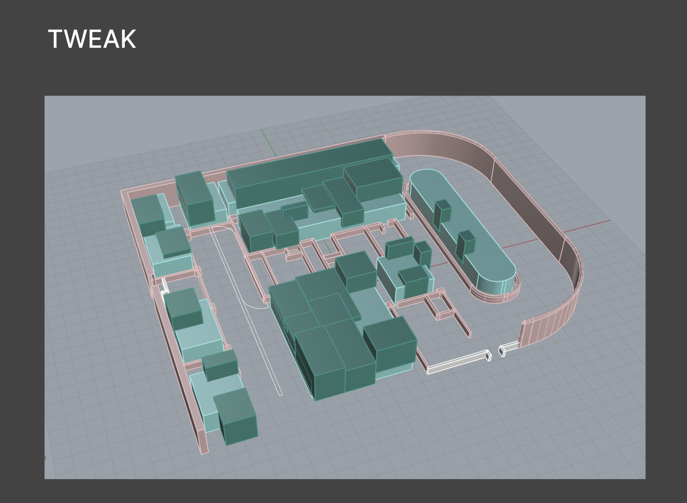
04 · Tweak — Subdividing for rhythm
The large blocks were split into smaller, staggered volumes. This introduced gaps for daylight, sightlines, and pedestrian movement between buildings — the difference between a single megastructure and a navigable cluster of buildings.
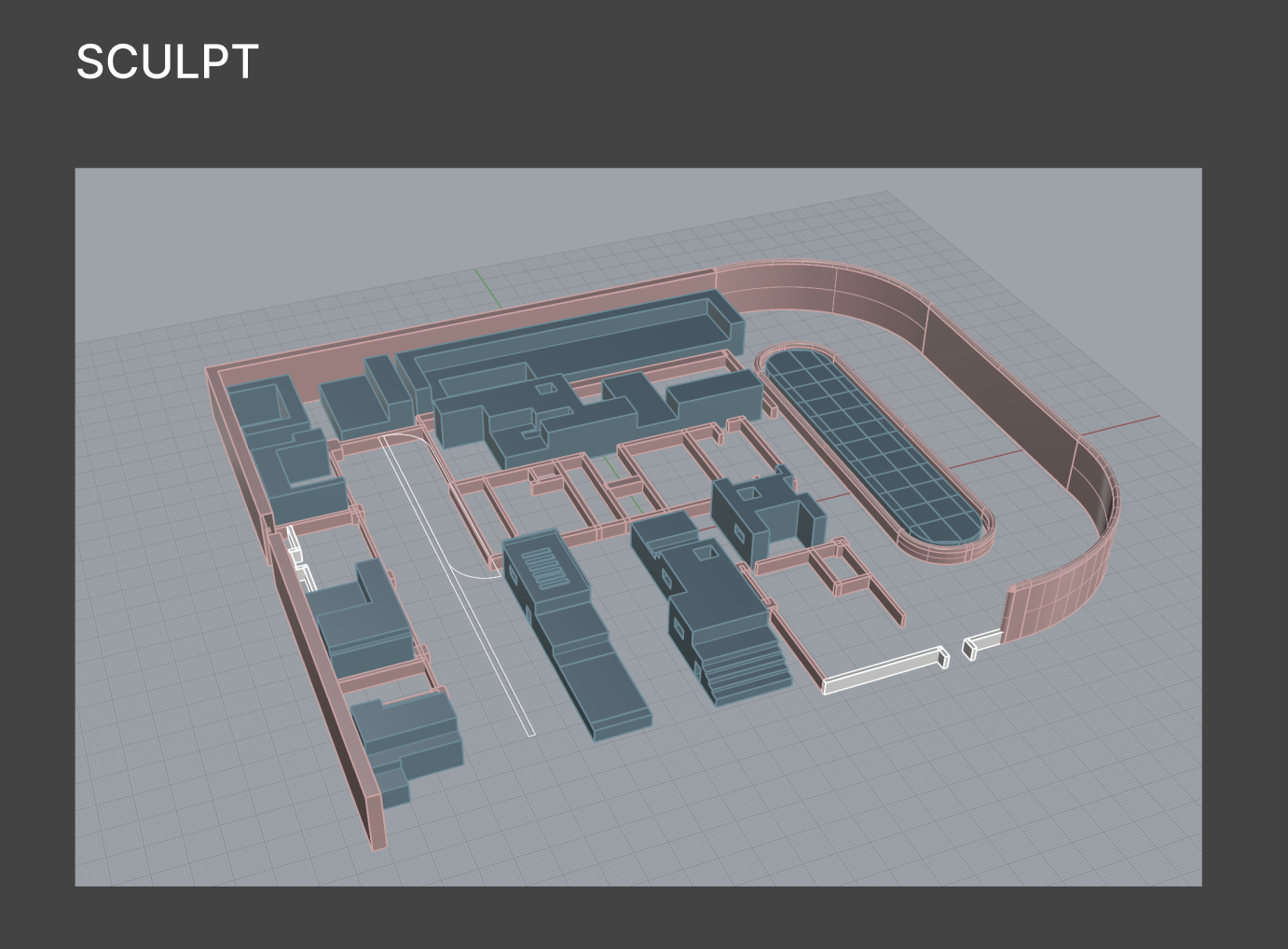
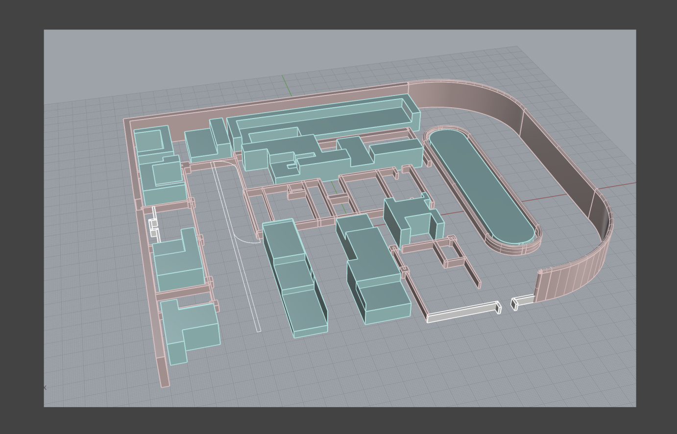
05 · Sculpt — Articulating the volumes
Each volume was then carved and detailed: terraces, setbacks, louvered faces, stepped sections, and openings. This is where the masses stopped being abstract boxes and started reading as architecture you could walk up to and into.
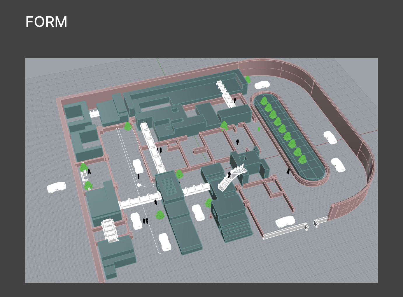
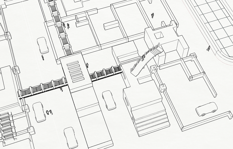
06 · Form — Resolving the district
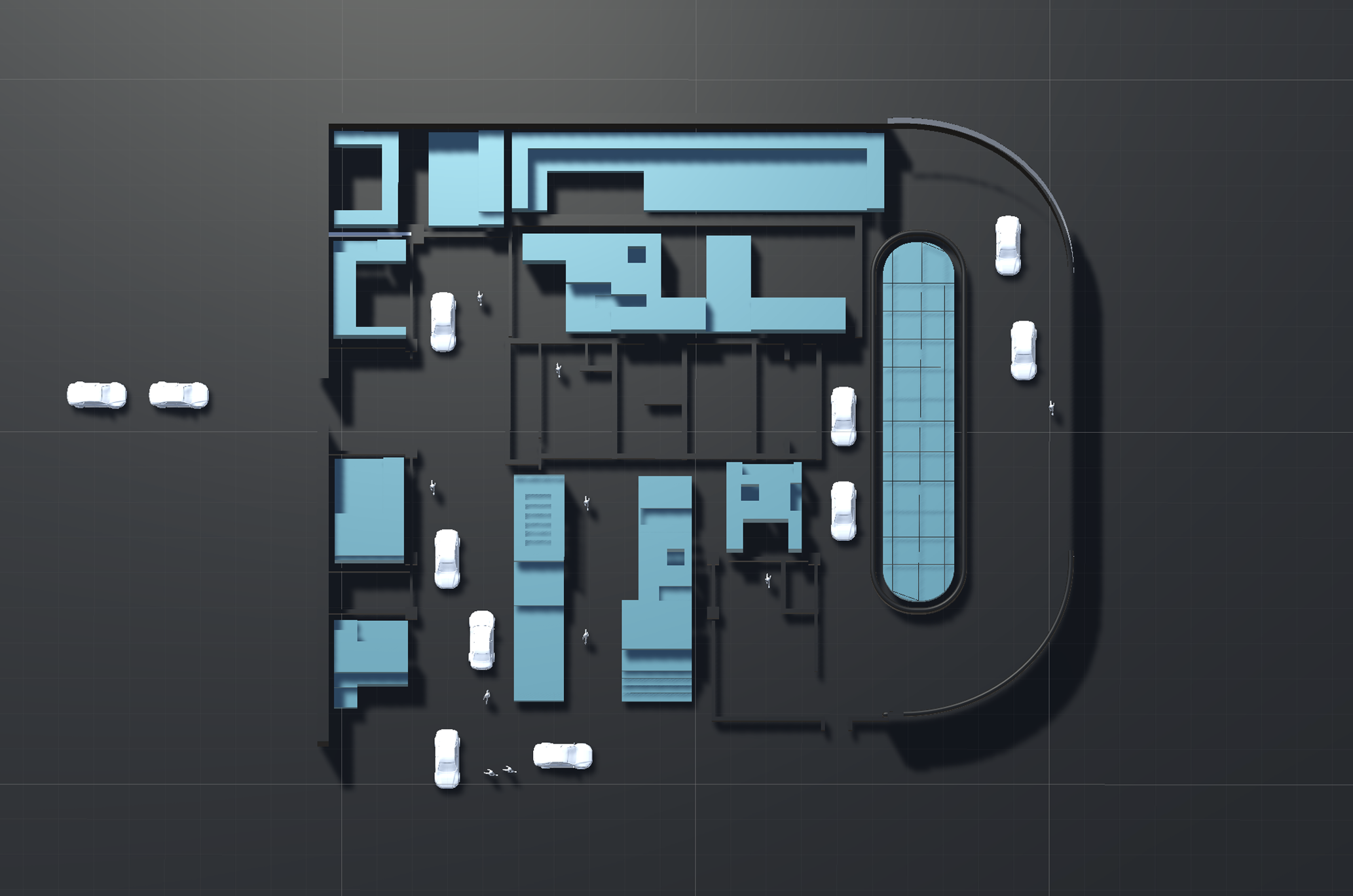
In the final form, skybridges and stairs/escalators stitch the volumes together, the old spiral ramp is reborn as a linear green park, and the space is populated with people and vehicles. Crucially, the cars now live only on the outer loop — the interior is entirely pedestrian.
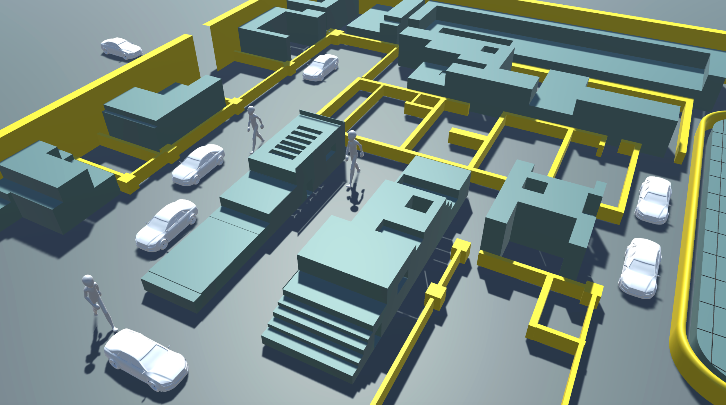
07 · Development
The final renders overlay the movement network onto the built form: autonomous vehicles enter and exit on the perimeter loop while people flow through the car-free core. The highlighted paths represent the invisible coordination layer that routes both — the literal point where the digital city and the physical city meet.
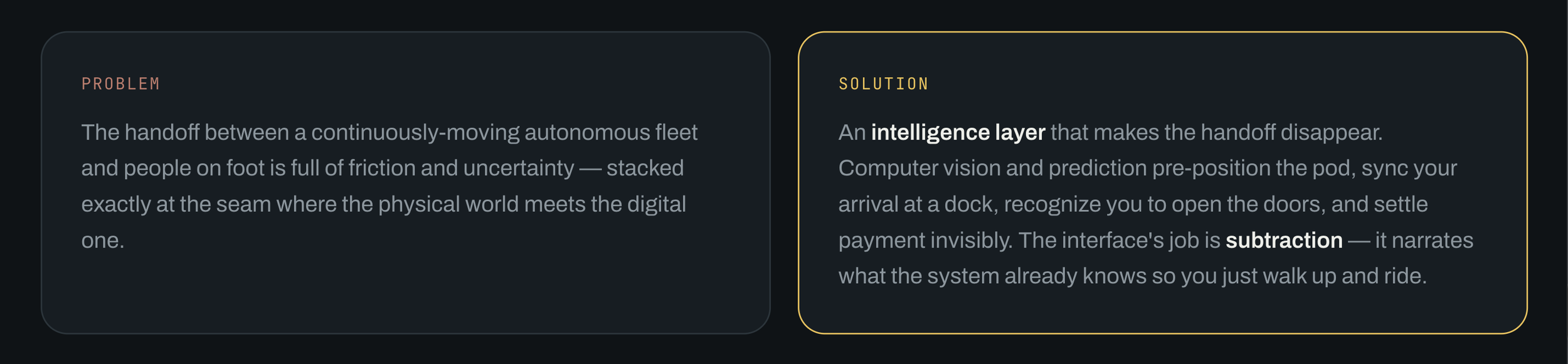
Problem Define
From building to interface - why the research matters
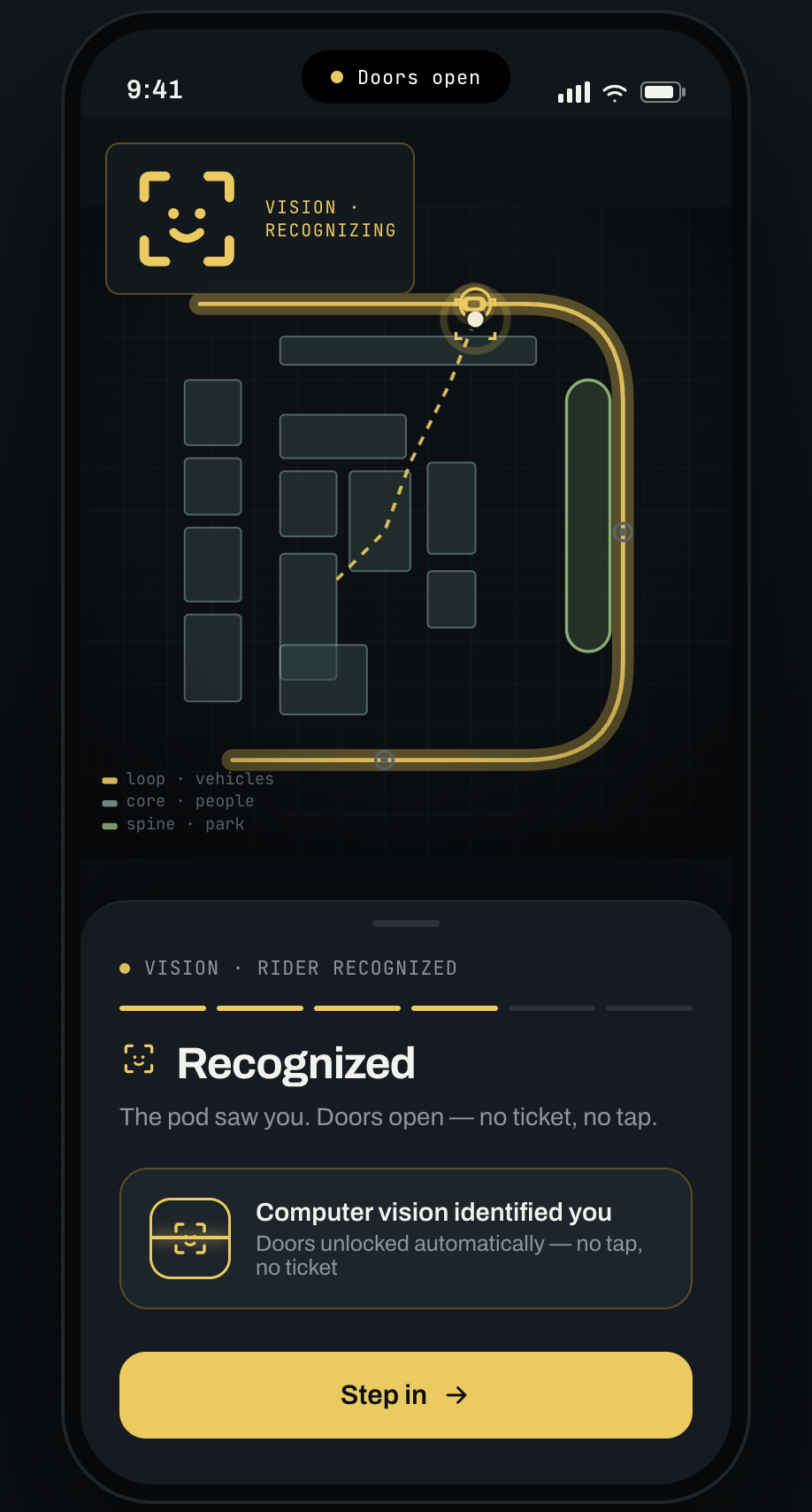
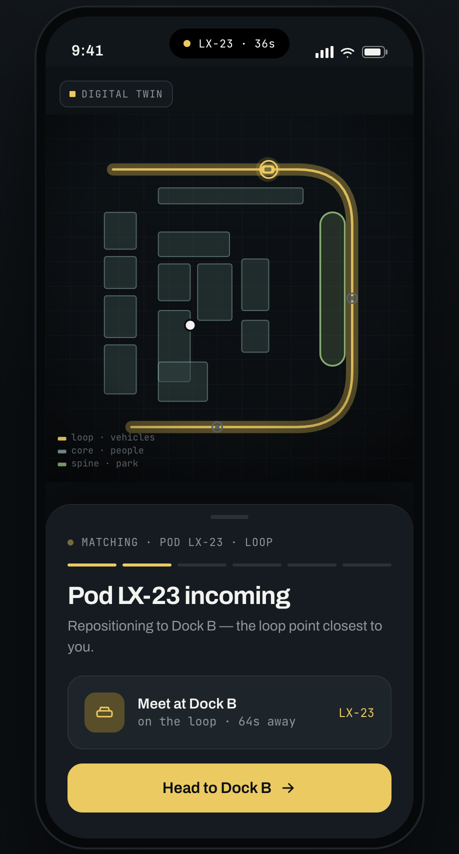
The spatial research generates the product's reason to exist: by pushing vehicles to a perimeter loop and reclaiming the core for people, the architecture creates the exact handoff problem the app solves. The zoning becomes the app's destinations and docking points, the density study informs how the system pre-positions pods, and the final plan becomes the literal map inside the interface.
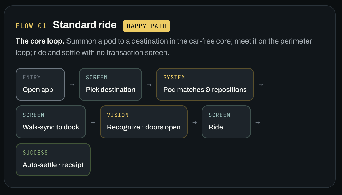
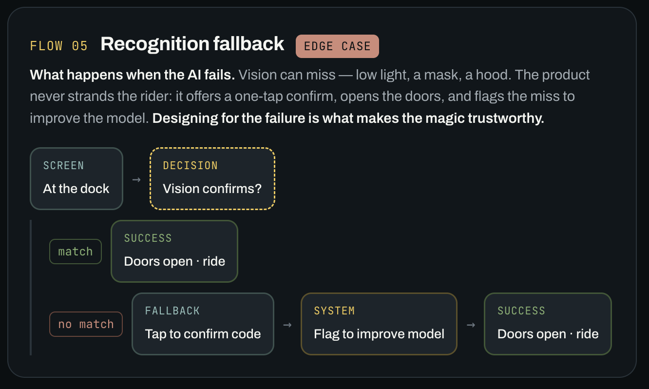
User Flows
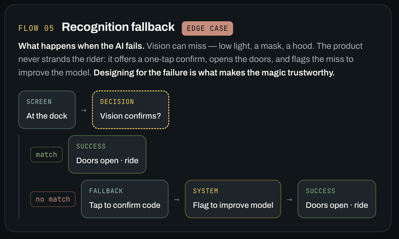
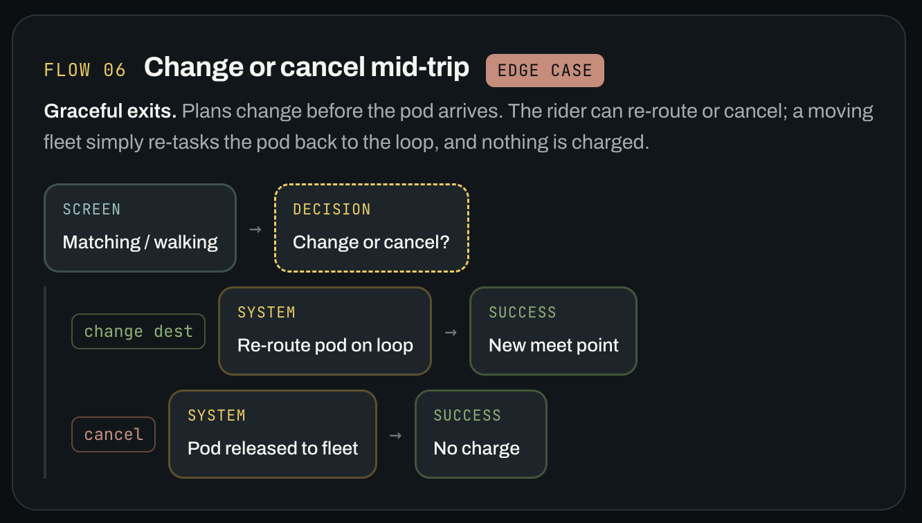
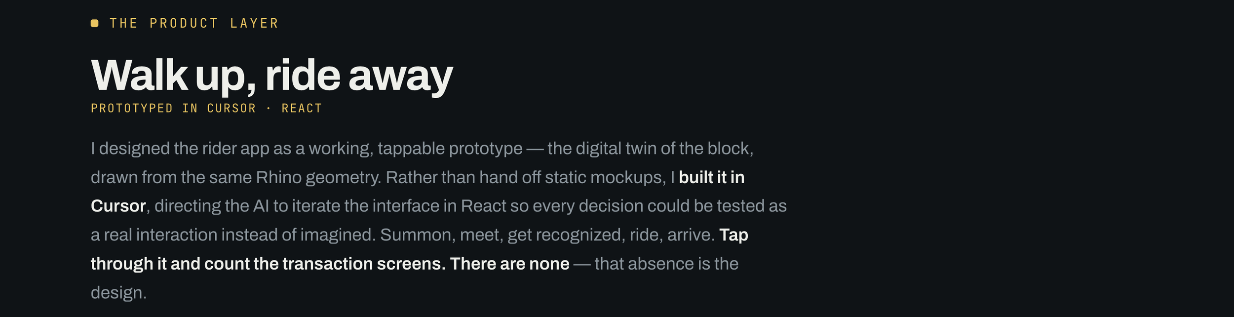
Cursor AI Mockups
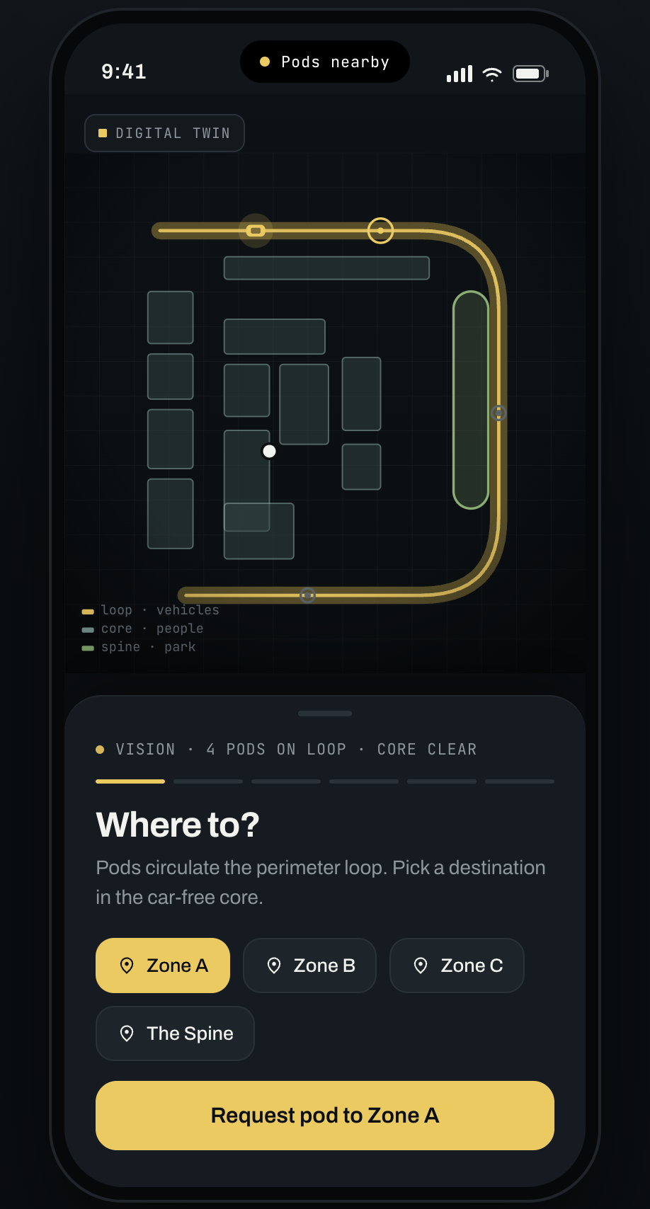
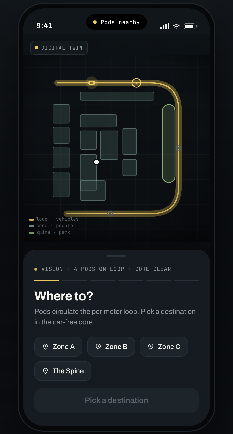
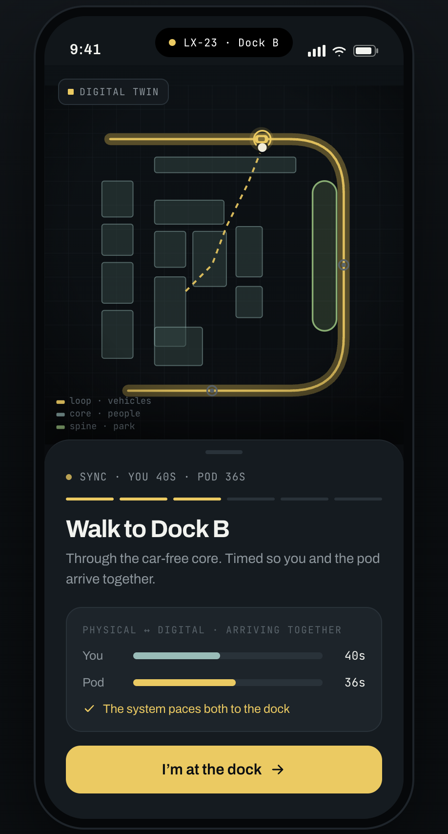
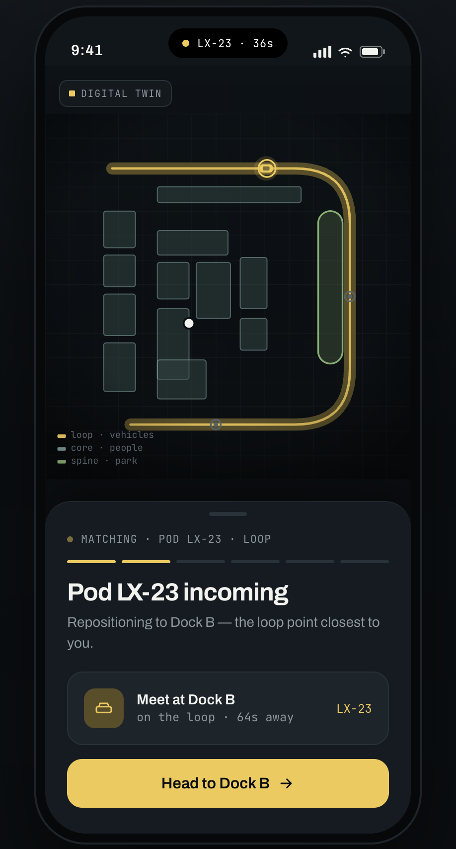
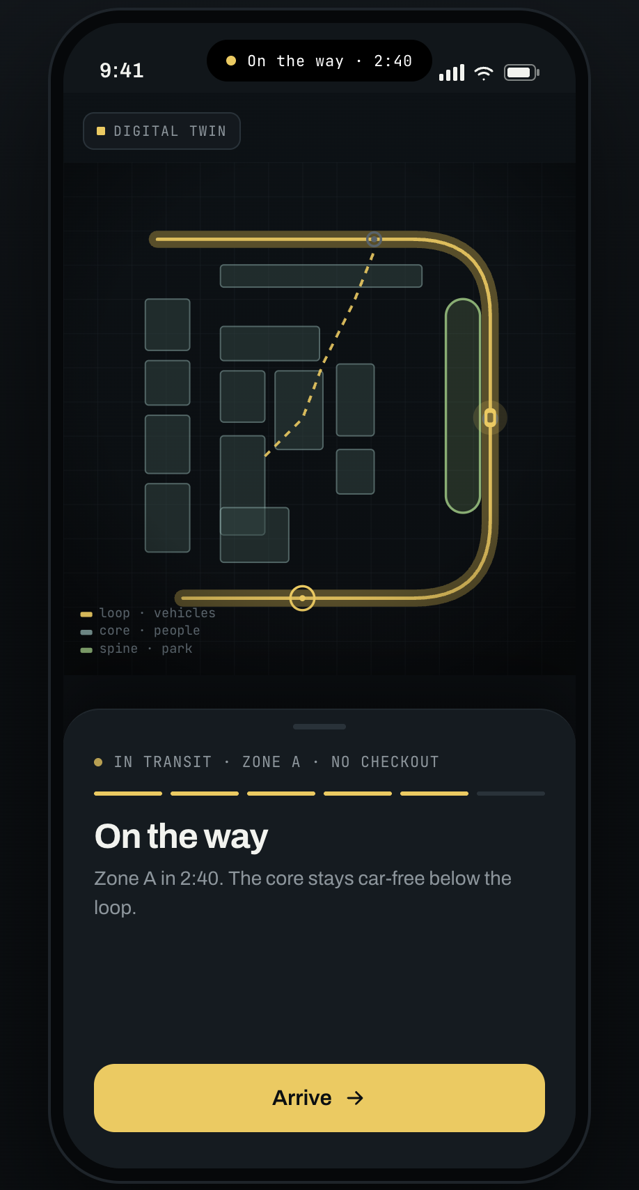
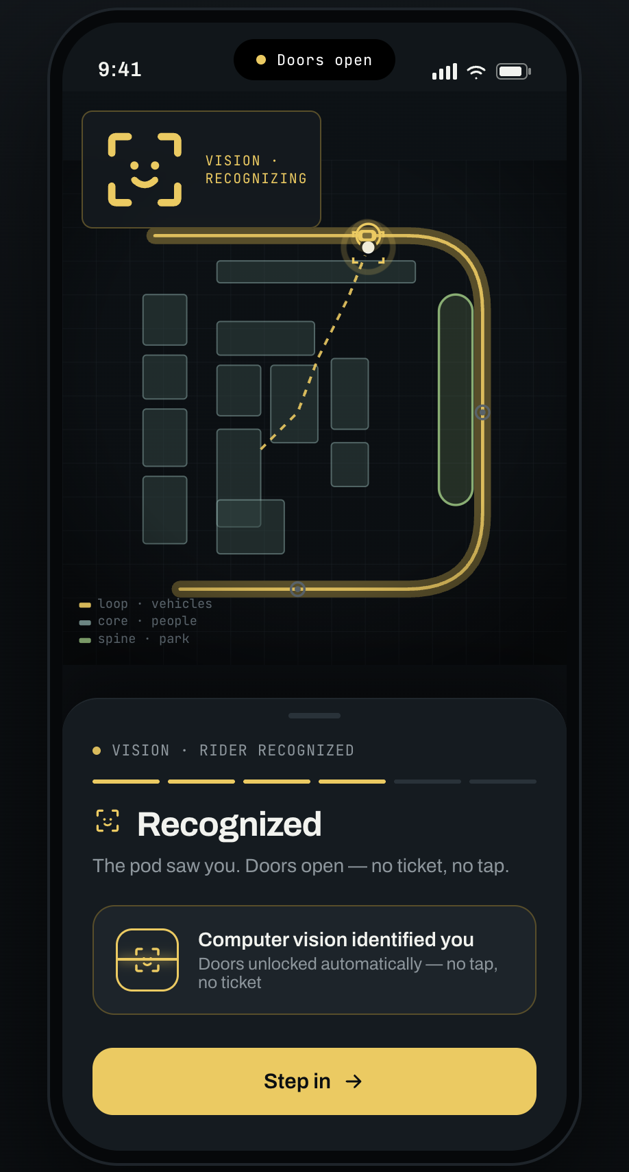
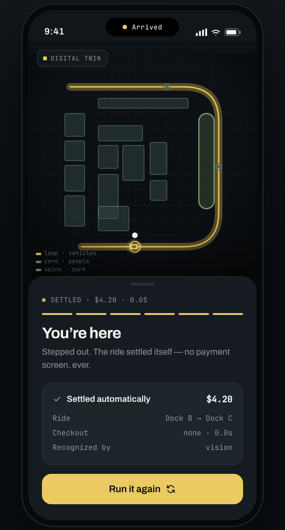
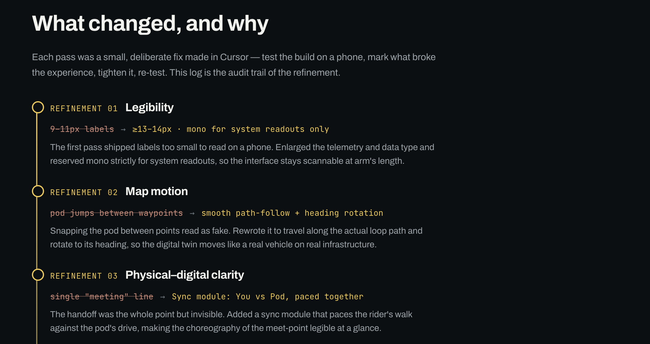
Refinements of the AI prototypes
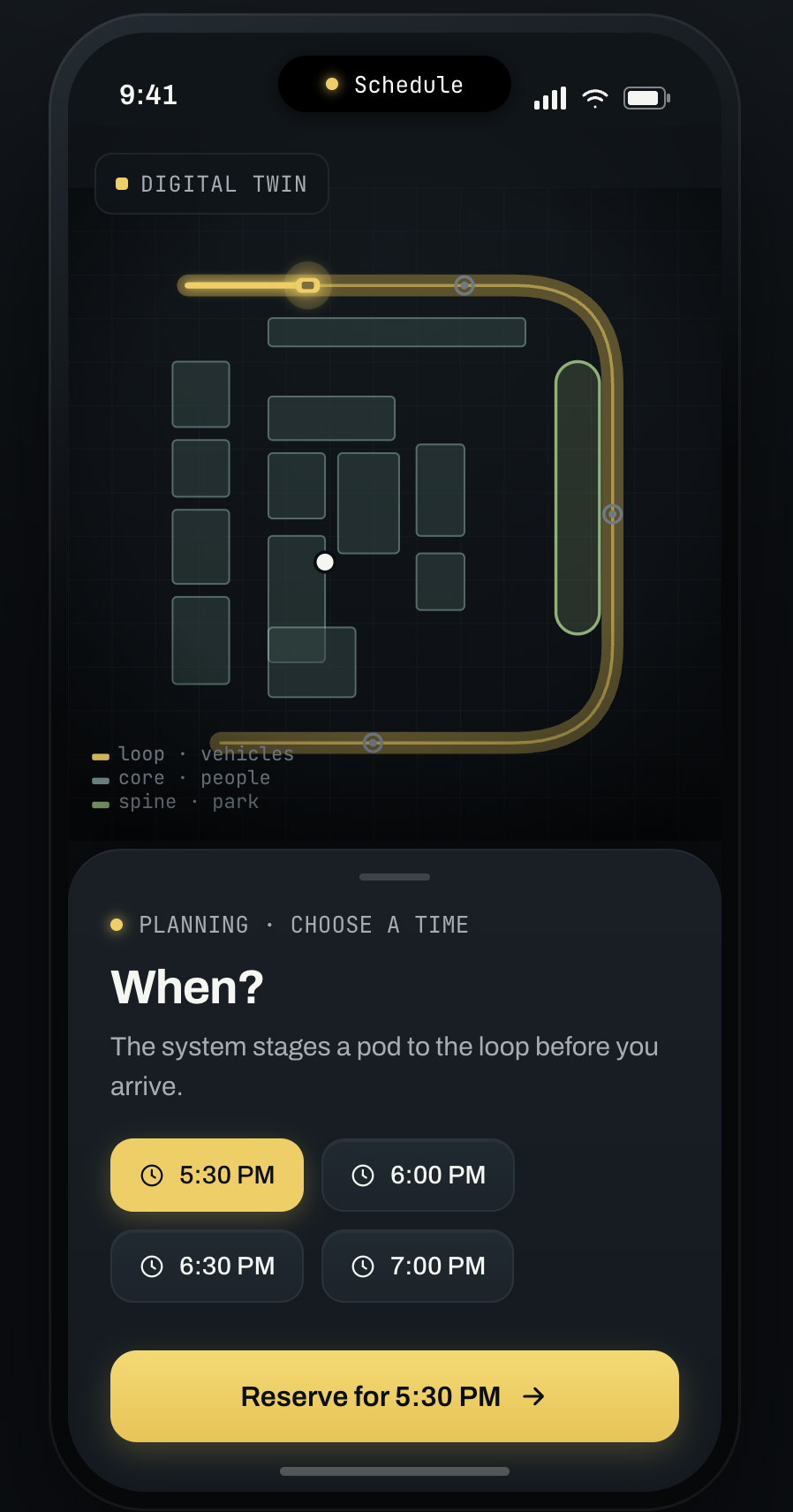
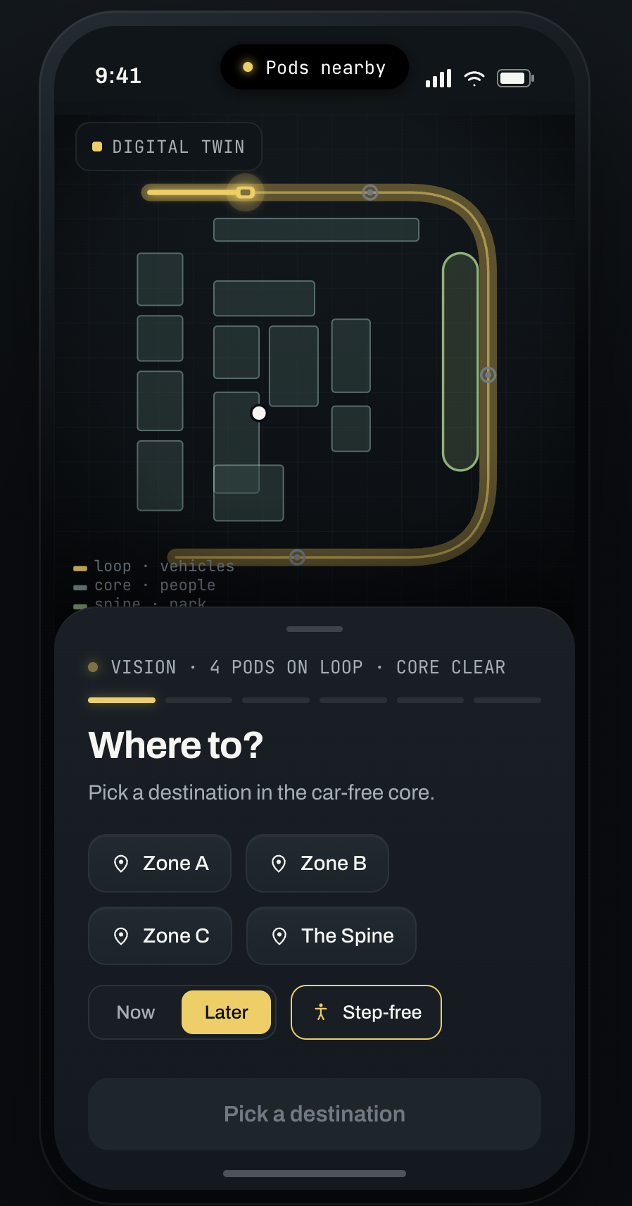
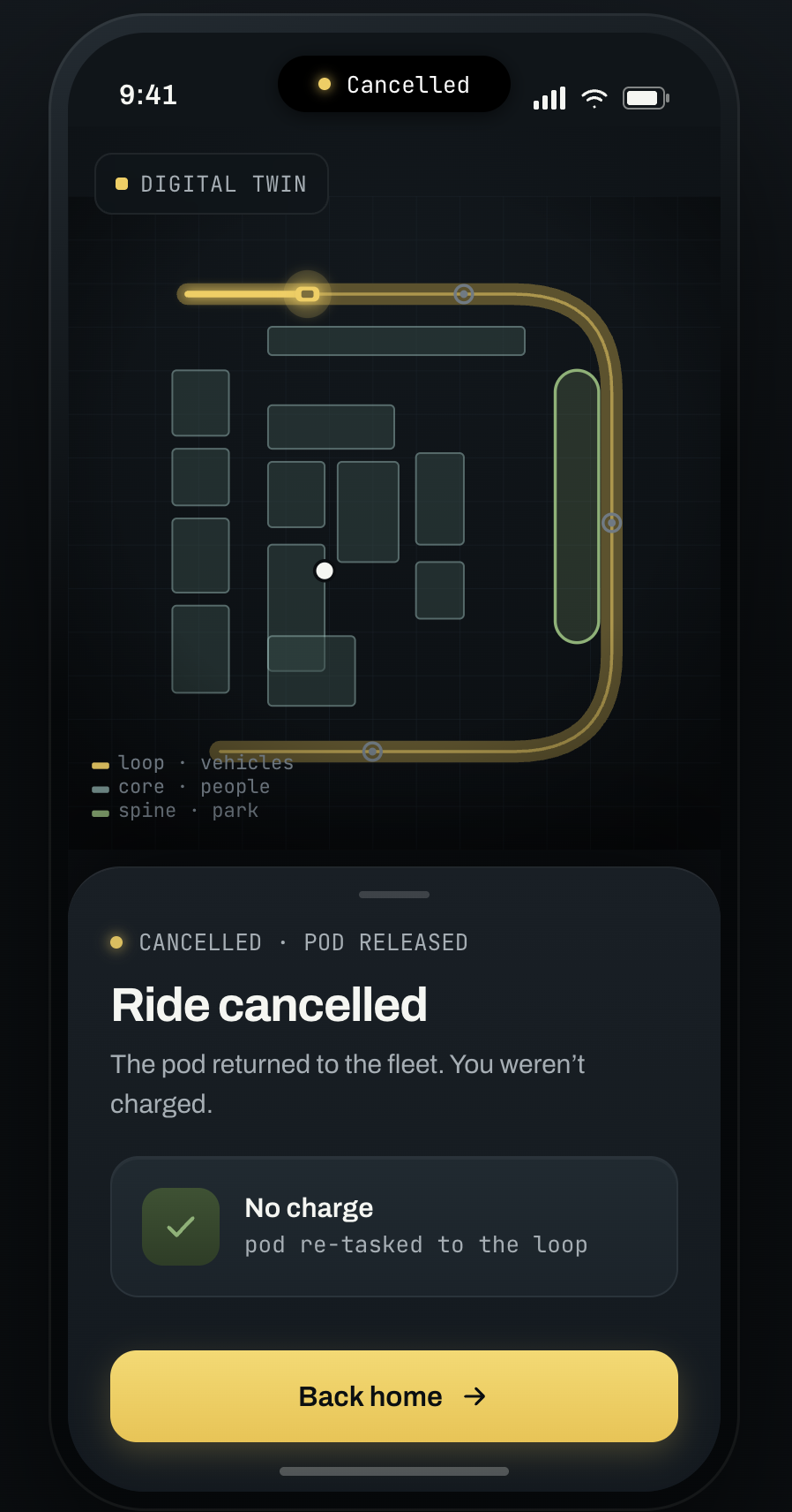
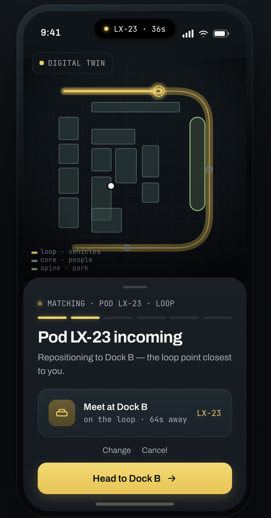
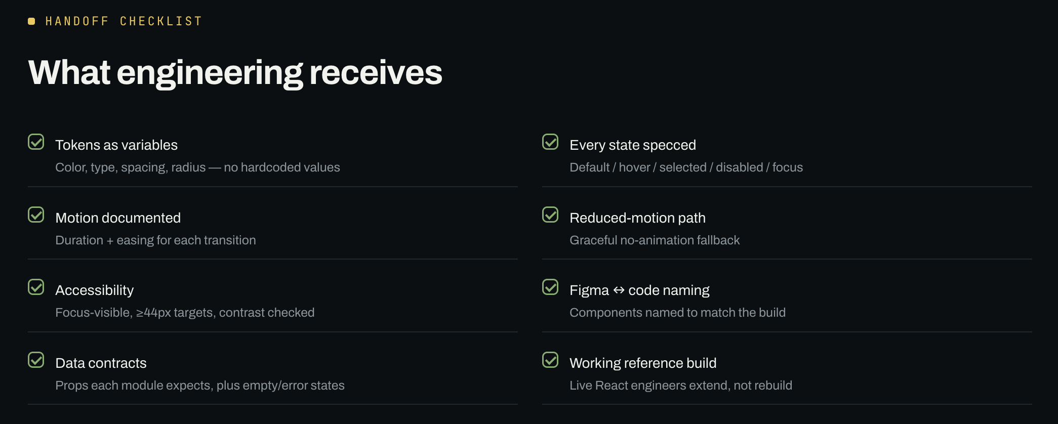
With the help of Cursor (my fav) and Claude Code (my second fav), the handoff is code-shaped, not a screenshot.
3D Art Video
Inspired by American developmental psychologist Howard Gardner, who described human intelligence in the grid-based terminology of “frames” of mind, I began to think of each grid or modular element as a way of organizing the experience of a particular human sense. I’m hoping to bring humanity back into the vision of new urbanism.